Methodology
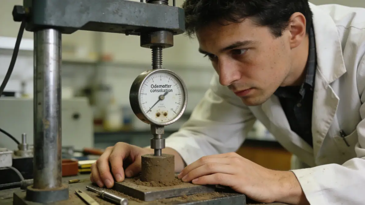
Our approach to geotechnical engineering in Albury Wodonga combines field investigation with laboratory analysis. We perform standard penetration tests (SPT) in accordance with AS 1289.6.3.1 to assess soil strength and stratigraphy, typically advancing boreholes to depths of 8–15 metres for residential projects and up to 30 metres for larger structures. In addition to spt boring, we conduct cone penetration tests (CPT) for continuous profiling and install standpipes for groundwater monitoring. Soil samples are classified using AS 1726 and tested for moisture content, Atterberg limits, and particle size distribution. This data informs bearing capacity, settlement, and seismic site class assessments per AS 1170.4.
Reference Technical Parameters
| Parameter | Reference Value |
|---|---|
| Predominant soil type | Alluvial clay, silt, sand, and gravel over weathered granite/sedimentary rock |
| Maximum seismic acceleration (PGA) | 0.08–0.12g (AS 1170.4, hazard factor Z = 0.08–0.12) |
| Typical groundwater level | 2–5 m below ground surface (seasonal variation up to 1 m) |
| Bedrock depth | 10–30 m (variable; shallower on hills, deeper in valleys) |
| Typical N60 range | 4–25 blows/300 mm (soft to medium dense sands; stiff clays N60 = 8–20) |
Local Considerations — Albury Wodonga
Albury Wodonga's geology is dominated by Quaternary alluvium from the Murray River, underlain by Silurian–Devonian granitic and sedimentary rocks. Soil profiles vary significantly between the floodplains (soft clays, loose sands, high groundwater) and elevated areas (stiffer clays, weathered rock). Seismic site classification typically ranges from Class C to D under AS 1170.4, with peak ground accelerations of 0.08–0.12g. Our team has extensive experience with shallow foundations on stiff clays and deep foundations (driven piles or CFA) in soft alluvium. For projects near the river, we assess liquefaction potential per AS 1170.4. Our soil mechanics laboratory provides tailored testing for local soils, including consolidation and triaxial tests for settlement and stability analyses. We also coordinate with our geotechnical engineering en Canberra team for regional consistency.
Request a Quote
Our team reviews your project and issues an initial report at no cost.
Or write us directly at [email protected]
Services in Albury Wodonga
Applicable Standards
- AS 1170.4 (Earthquake actions)
- AS 1289 (Soil testing methods)
- AS 1726 (Geotechnical site investigations)
- AS 2870 (Residential slabs and footings)
- AS 2159 (Piling – design and installation)
Frequently Asked Questions
What are the typical soil conditions in Albury Wodonga?
Soils are predominantly Quaternary alluvial deposits—clays, silts, sands, and gravels—overlying weathered granite or sedimentary rock. Groundwater is typically shallow (2–5 m). Soil strength varies from soft clays (N60 ≈ 4) to stiff clays (N60 ≈ 20) and loose to medium dense sands.
Is seismic design required in Albury Wodonga?
Yes, AS 1170.4 applies with a hazard factor Z = 0.08–0.12, corresponding to peak ground accelerations of 0.08g–0.12g. Site class (typically C or D) is determined from shear wave velocity or SPT N-values. Liquefaction assessment is required for soft, saturated soils near the Murray River.
When is a geotechnical investigation mandatory in Albury Wodonga?
Most building approvals require a geotechnical report for class M, H, or E sites under AS 2870, and for commercial structures. Local councils (Albury City, Wodonga Council) often specify minimum borehole depths and testing frequency. We recommend early investigation to optimise foundation design.