Methodology
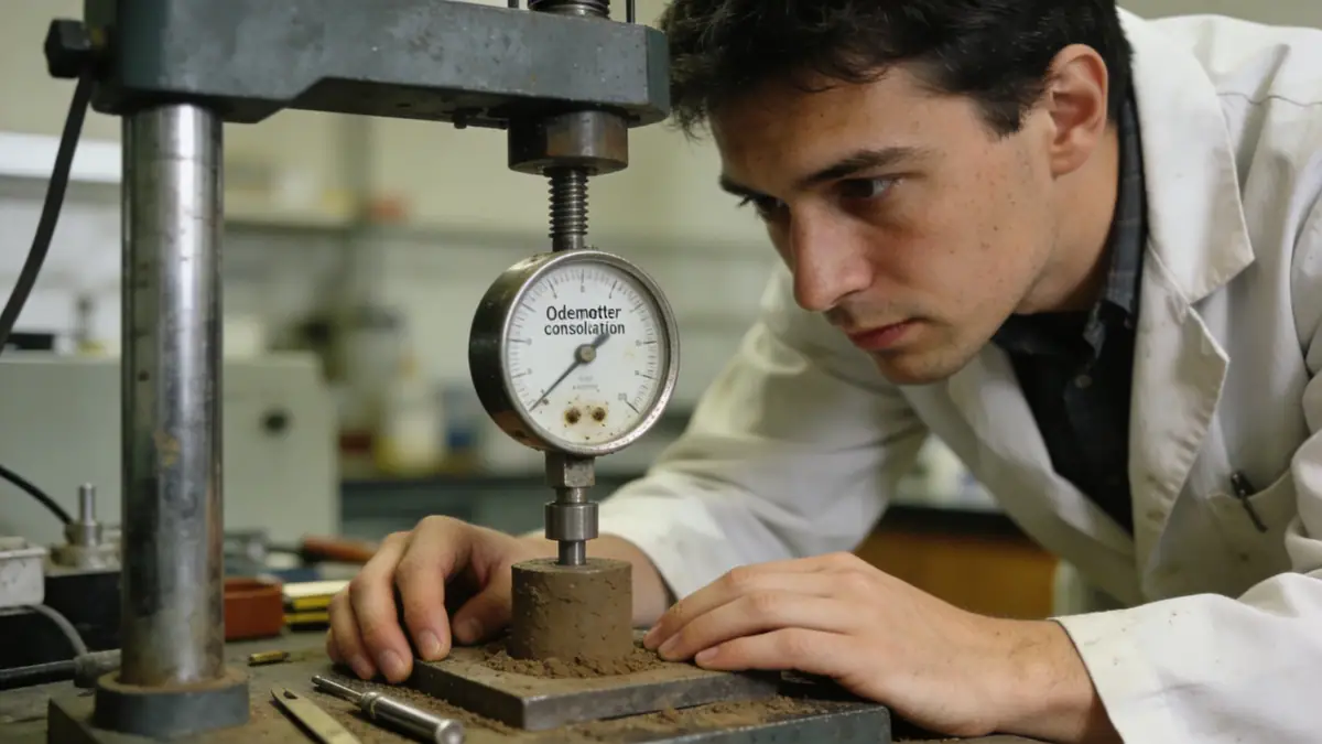
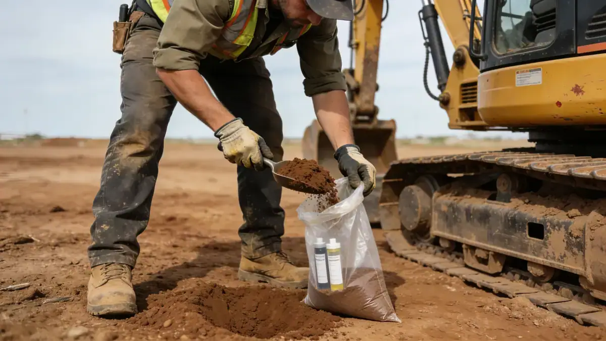
Our approach to geotechnical engineering in Cairns begins with a detailed site reconnaissance and review of existing geological data. We then conduct a field investigation program tailored to the specific project, typically including spt boring to recover disturbed and undisturbed samples and measure soil resistance. Laboratory testing on recovered samples follows, covering classification, strength, and consolidation parameters. All field and lab work adheres to relevant Australian standards, such as AS 1289 for soil testing and AS 4678 for earth-retaining structures. The gathered data informs our geotechnical models and design recommendations.
Reference Technical Parameters
| Parameter | Reference Value |
|---|---|
| Predominant soil type | Residual silty sands and clayey gravels, with local alluvial deposits |
| Maximum seismic acceleration (PGA) | 0.08g to 0.12g (AS 1170.4) depending on site class |
| Typical groundwater level | 1.5–5.0 m below ground surface, varies seasonally |
| Bedrock depth | 10–30 m, often weathered metamorphic or granitic rock |
| Typical N60 range (SPT) | 4–20 blows/300 mm in upper soils, increasing with depth |
Local Considerations — Cairns
Cairns is situated on the floodplain of the Barron River, underlain by Quaternary alluvium and Tertiary basalts. The region experiences a tropical monsoon climate, leading to high groundwater levels and expansive soils in some areas. Seismic hazard is moderate, with a peak ground acceleration of 0.08–0.12g according to AS 1170.4. The city's topography varies from coastal flatlands to steep foothills of the Great Dividing Range. Our team has extensive experience navigating these conditions, including soft clays near the coast and colluvial soils on slopes. For projects requiring specialised analysis, we coordinate with our soil mechanics laboratory to provide accurate soil parameters. Additionally, we leverage the expertise of our geotechnical engineering en Brisbane hub to deliver consistent service across Queensland.
Request a Quote
Our team reviews your project and issues an initial report at no cost.
Or write us directly at [email protected]
Services in Cairns
Applicable Standards
- AS 1170.4 (Structural Design Actions – Earthquake Actions)
- AS 1726 (Geotechnical Site Investigations)
- AS 2870 (Residential Slabs and Footings)
- AS 4678 (Earth-Retaining Structures)
- ASTM D1586 (Standard Test Method for Penetration Test and Split-Barrel Sampling of Soils)
Frequently Asked Questions
What are the typical soil conditions in Cairns for foundation design?
Cairns soils commonly consist of residual silty sands and clayey gravels from weathered metamorphic rock, with alluvial deposits near waterways. These soils often have variable strength and may be expansive. Groundwater levels are typically shallow, requiring consideration for buoyancy and dewatering.
Is seismic design required for structures in Cairns?
Yes, according to AS 1170.4, Cairns falls in a moderate seismic zone with a peak ground acceleration of 0.08–0.12g. Site-specific seismic analysis may be necessary for important structures or sites with soft soil profiles to ensure compliance with the Building Code of Australia.
When is a geotechnical investigation mandatory in Cairns?
Geotechnical investigations are typically required for all new building works under the National Construction Code, particularly for structures with complex loads or on sites with known geotechnical hazards such as reactive soils, high groundwater, or steep slopes. Local councils may also mandate investigations for development approvals.