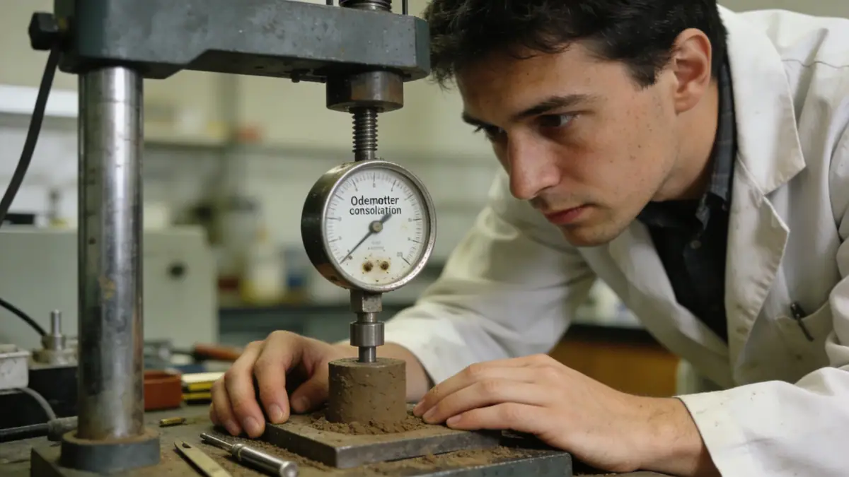
Methodology
Our approach in Launceston integrates field and laboratory testing to characterize subsurface conditions accurately. We perform spt boring to obtain disturbed samples and measure soil resistance, supplemented by undisturbed sampling for advanced testing. In the laboratory, we conduct classification, strength, and consolidation tests following Australian Standards. Our methodology emphasizes understanding the local geology—including the influence of the Tamar River and surrounding basalt formations—to tailor investigation programs. This systematic approach minimizes uncertainty and provides clients with actionable insights for foundation design and earthworks.
Reference Technical Parameters
| Parameter | Reference Value |
|---|---|
| Predominant soil type | Alluvial silty clay and sand over basalt bedrock |
| Maximum seismic acceleration (PGA) | 0.10 g (AS 1170.4) |
| Typical groundwater level | 2–5 m depth |
| Bedrock depth | 5–20 m |
| Typical N60 range | 10–40 blows/300mm |
Local Considerations — Launceston
Launceston’s subsurface is dominated by alluvial deposits from the Tamar River, with varying layers of clay, silt, sand, and gravel overlying Jurassic dolerite or Tertiary basalt. Groundwater levels can be shallow near the river, requiring dewatering considerations. Seismic hazard is moderate (PGA 0.10g per AS 1170.4), influencing foundation design. In elevated suburbs like West Launceston, colluvial soils and steep slopes pose landslide risks. Our team has addressed these conditions in numerous projects, including residential subdivisions and commercial developments. For broader regional context, we collaborate with our geotechnical engineering en Hobart team to ensure consistent quality across Tasmania. Additionally, slope stability assessments are often required for hillside sites.
Request a Quote
Our team reviews your project and issues an initial report at no cost.
Or write us directly at [email protected]
Services in Launceston
Applicable Standards
- AS 1170.4 (Structural Design Actions – Earthquake Actions in Australia)
- AS 1726 (Geotechnical Site Investigations)
- AS 2870 (Residential Slabs and Footings)
- ASTM D1586 (Standard Penetration Test)
Frequently Asked Questions
What are the typical soil conditions in Launceston?
Launceston soils vary widely, from alluvial clays and sands along the Tamar Valley to residual soils over basalt or dolerite. Groundwater is often shallow near the river. A site-specific investigation is essential to determine exact conditions.
Is seismic design required in Launceston?
Yes, Launceston falls under seismic hazard zone with a PGA of 0.10g per AS 1170.4. While not as high as Hobart, earthquake loads must be considered in foundation and structural design, particularly for multi-storey buildings.
Are geotechnical investigations mandatory for building in Launceston?
For most residential and commercial projects, a geotechnical investigation is strongly recommended to comply with Australian Standards and ensure safe design. Local councils may require it for sites with known fill, steep slopes, or high water tables.