Methodology

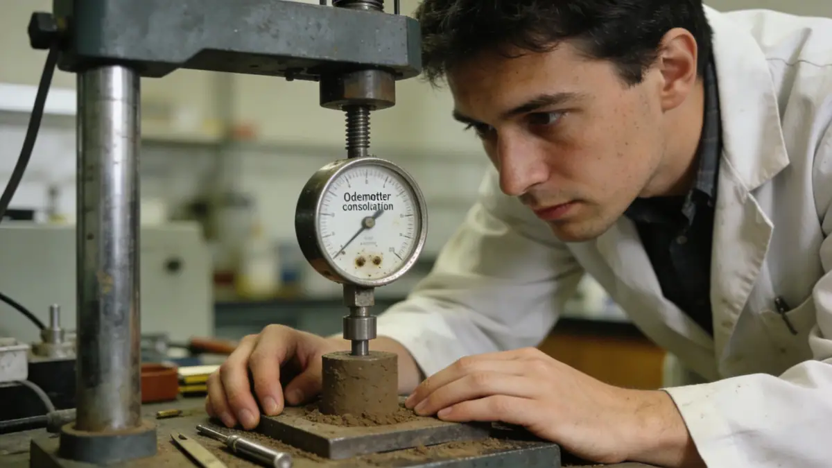
Our methodology for Port Macquarie begins with a thorough desktop study of existing geological maps and borehole records. We then conduct field investigations using techniques such as spt boring to assess soil strength and stratigraphy. In our soil mechanics laboratory, we perform index and strength tests, including Atterberg limits and direct shear, following AS 1289. Groundwater monitoring and seismic hazard evaluation are integrated into our approach. Data is analyzed to develop geotechnical models that inform foundation recommendations, slope stability assessments, and earthworks specifications, all tailored to local conditions.
Reference Technical Parameters
| Parameter | Reference Value |
|---|---|
| Predominant soil type | Sandy clays and silty sands (Quaternary alluvium) |
| Maximum seismic acceleration (PGA) | 0.08g (AS 1170.4, intermediate hazard) |
| Typical groundwater level | 2 to 5 metres below ground surface |
| Bedrock depth | 10 to 30 metres (sandstone/mudstone) |
| Typical N60 range | 5 to 30 blows/300mm (variable) |
Local Considerations — Port Macquarie
Port Macquarie's coastal setting means shallow groundwater and loose sands are common, requiring careful dewatering and compaction control. The city's seismic hazard is moderate per AS 1170.4, with peak ground acceleration of 0.08g. Older suburbs like Port Macquarie CBD have deeper fill, while newer estates near Lake Innes encounter soft estuarine clays. Typical projects include slab-on-grade foundations for residential homes and piled foundations for commercial structures. For broader expertise, our geotechnical engineering en Sydney team supports complex projects across NSW. Additionally, our slope stability services are crucial for hillside developments in areas like Lighthouse Beach.
Request a Quote
Our team reviews your project and issues an initial report at no cost.
Or write us directly at [email protected]
Services in Port Macquarie
Applicable Standards
- AS 1170.4 (Structural design actions – Earthquake actions)
- AS 1726 (Geotechnical site investigations)
- AS 2870 (Residential slabs and footings)
- ASTM D1586 (Standard test method for SPT)
Frequently Asked Questions
What are the common soil types in Port Macquarie?
Port Macquarie predominantly features Quaternary alluvial deposits, including sandy clays, silty sands, and coastal sands. In low-lying areas, soft estuarine clays and peat layers may be present, requiring careful geotechnical assessment for foundation design.
Is Port Macquarie in a seismic zone?
Port Macquarie is classified as an intermediate seismic hazard region under AS 1170.4, with a peak ground acceleration of 0.08g. While not highly active, site-specific seismic assessments may be required for critical structures such as hospitals and bridges.
Are geotechnical investigations mandatory for building in Port Macquarie?
Port Macquarie-Hastings Council typically requires a geotechnical investigation for new developments, especially in areas with known fill, high water tables, or slope instability. For residential slabs, AS 2870 often necessitates site classification to determine foundation design.