Methodology
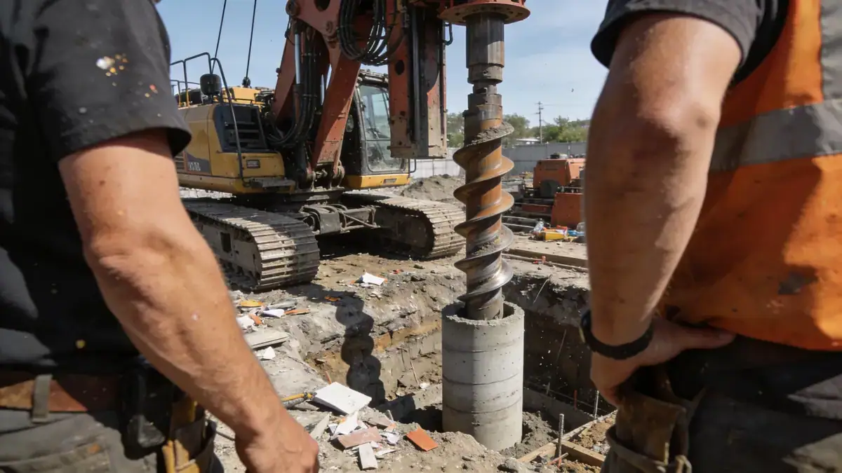
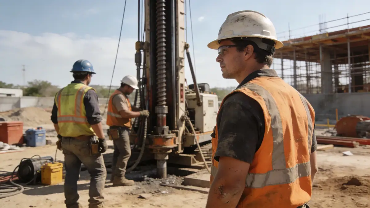
Our approach to geotechnical engineering in Townsville begins with a comprehensive desk study of existing geological maps and borehole records, followed by field investigations tailored to site-specific conditions. We employ standard penetration testing (SPT) per ASTM D1586 to assess soil strength and stratigraphy, with sampling intervals typically every 1.0–1.5 m. For detailed profiling, we integrate cone penetration testing (CPT) providing continuous records at 1–2 cm intervals. Laboratory testing on retrieved samples includes grain size distribution (ASTM D6913), Atterberg limits, and direct shear tests (ASTM D3080) to define engineering parameters. Our methodology ensures robust data for foundation and slope design, adapted to Townsville's variable soils.
Reference Technical Parameters
| Parameter | Reference Value |
|---|---|
| Predominant soil type | Coastal sands and silty clays over metamorphic bedrock |
| Maximum seismic acceleration (PGA) | 0.12g (AS 1170.4, Zone B1) |
| Typical groundwater level | 1.5–3.0 m below ground surface |
| Bedrock depth | 5–15 m in coastal areas; >20 m inland |
| Typical N60 range | 4–15 in sands; 10–30 in clays |
Local Considerations — Townsville
Townsville's geology comprises Quaternary alluvial sands and clays overlying Devonian metamorphic rocks, with groundwater often shallow (1.5–3 m) near the coast. Seismic hazard is moderate (PGA 0.12g per AS 1170.4), requiring site-specific response spectra for critical structures. Northern suburbs (e.g., North Ward) exhibit deeper sands, while southern areas (e.g., Kirwan) have stiff clays near surface. Common challenges include expansive clay behavior and liquefaction potential in loose saturated sands. For a broader regional perspective, our team's work is coordinated from our geotechnical engineering services in Brisbane, ensuring consistent quality across Queensland.
Request a Quote
Our team reviews your project and issues an initial report at no cost.
Or write us directly at [email protected]
Services in Townsville
Applicable Standards
- AS 1170.4 (Seismic actions)
- AS 2870 (Residential slabs and footings)
- AS 1726 (Geotechnical site investigations)
- ASTM D1586 (Standard Penetration Test)
- Eurocode 7 (Geotechnical design, reference)
Frequently Asked Questions
What are the typical soil types encountered in Townsville?
Townsville's subsurface generally consists of coastal sands, silty clays, and occasional gravel layers overlying metamorphic bedrock. Inland areas may have stiff clays, while near the coast loose sands are common, requiring careful evaluation for liquefaction and settlement.
Is seismic design required for geotechnical engineering in Townsville?
Yes, Townsville falls under seismic Zone B1 per AS 1170.4, with a peak ground acceleration of 0.12g. Site-specific response spectra are recommended for essential buildings and infrastructure, and our team routinely incorporates seismic considerations into foundation and slope designs.
Are geotechnical investigations mandatory for building projects in Townsville?
While not always mandatory for small residential work, most local councils and certifiers require a geotechnical report for new constructions, especially in areas with known soil issues like reactive clays or fill. Our firm provides compliant investigations to support building approvals.