Methodology
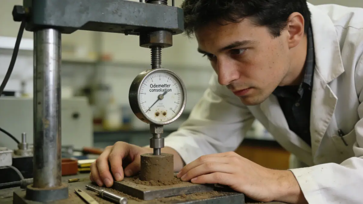
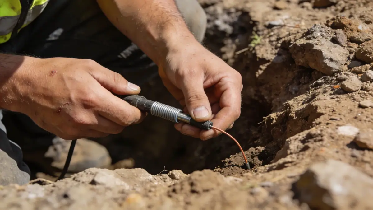
Our methodology for geotechnical engineering in Wollongong begins with a thorough desk study of regional geology and historical site data. We then conduct field investigations, including spt boring in accordance with ASTM D1586, to obtain soil samples and measure penetration resistance at regular intervals. Laboratory testing on retrieved samples follows standards such as AS 1289 for classification, strength, and compressibility. For sites near the escarpment, we perform detailed slope stability analyses using limit equilibrium methods. Our approach integrates local seismic hazard data, with peak ground acceleration values up to 0.12g for Wollongong, to inform dynamic design parameters. All findings are compiled into a comprehensive geotechnical report that addresses foundation recommendations, earthworks, and groundwater control.
Reference Technical Parameters
| Parameter | Reference Value |
|---|---|
| Predominant soil type | Coastal sands, alluvial clays, and Hawkesbury Sandstone |
| Maximum seismic acceleration (PGA) | 0.12g (AS 1170.4, 500-year return period) |
| Typical groundwater level | 2–5 m below ground surface in low-lying areas |
| Bedrock depth | 5–20 m, shallower near escarpment |
| Typical N60 range | 10–30 in sands, 40–60+ in sandstone |
Local Considerations — Wollongong
Wollongong's geology is dominated by the Illawarra escarpment, with Hawkesbury Sandstone forming the bedrock and coastal Quaternary sediments overlying it. The region experiences moderate seismicity, with an AS 1170.4 hazard factor Z = 0.09. Groundwater levels are shallow near the coast, requiring dewatering considerations for excavations. In northern suburbs like Corrimal and Bellambi, residual soils from the escarpment pose slope stability risks. Southern areas such as Dapto feature deeper alluvial deposits. Our team integrates these factors into every project, delivering reliable slope stability assessments. For projects requiring broader regional context, we coordinate with our geotechnical engineering en Sydney office.
Request a Quote
Our team reviews your project and issues an initial report at no cost.
Or write us directly at [email protected]
Services in Wollongong
Applicable Standards
- AS 1170.4 – Earthquake actions
- AS 1289 – Methods of testing soils
- AS 4678 – Earth retaining structures
- ASTM D1586 – Standard penetration test
- Eurocode 7 – Geotechnical design (reference)
Frequently Asked Questions
What are the typical soil conditions in Wollongong?
Wollongong features coastal sands and alluvial clays overlying Hawkesbury Sandstone. The Illawarra escarpment contributes residual soils and occasional colluvium. Bedrock depth varies from 5 to 20 meters, with deeper deposits in the southern suburbs.
How does seismic risk affect geotechnical engineering in Wollongong?
Wollongong has a moderate seismic hazard with a peak ground acceleration of 0.12g per AS 1170.4. Geotechnical designs must account for site class effects, liquefaction potential in loose sands, and slope stability along the escarpment.
Are geotechnical investigations mandatory for building in Wollongong?
While not always statutory, most councils in the Wollongong area require a geotechnical report for developments on sloping sites, near the escarpment, or in areas with known mine subsidence. Our team ensures compliance with local and state regulations.